Data visualization has many applications in virtual and mixed reality, since a third dimension literally adds important depth to the represented information. A new app called HoloFlight is a good example of this, combining flight-tracking data and the Microsoft HoloLens to surround you with a look at every plane in the sky.
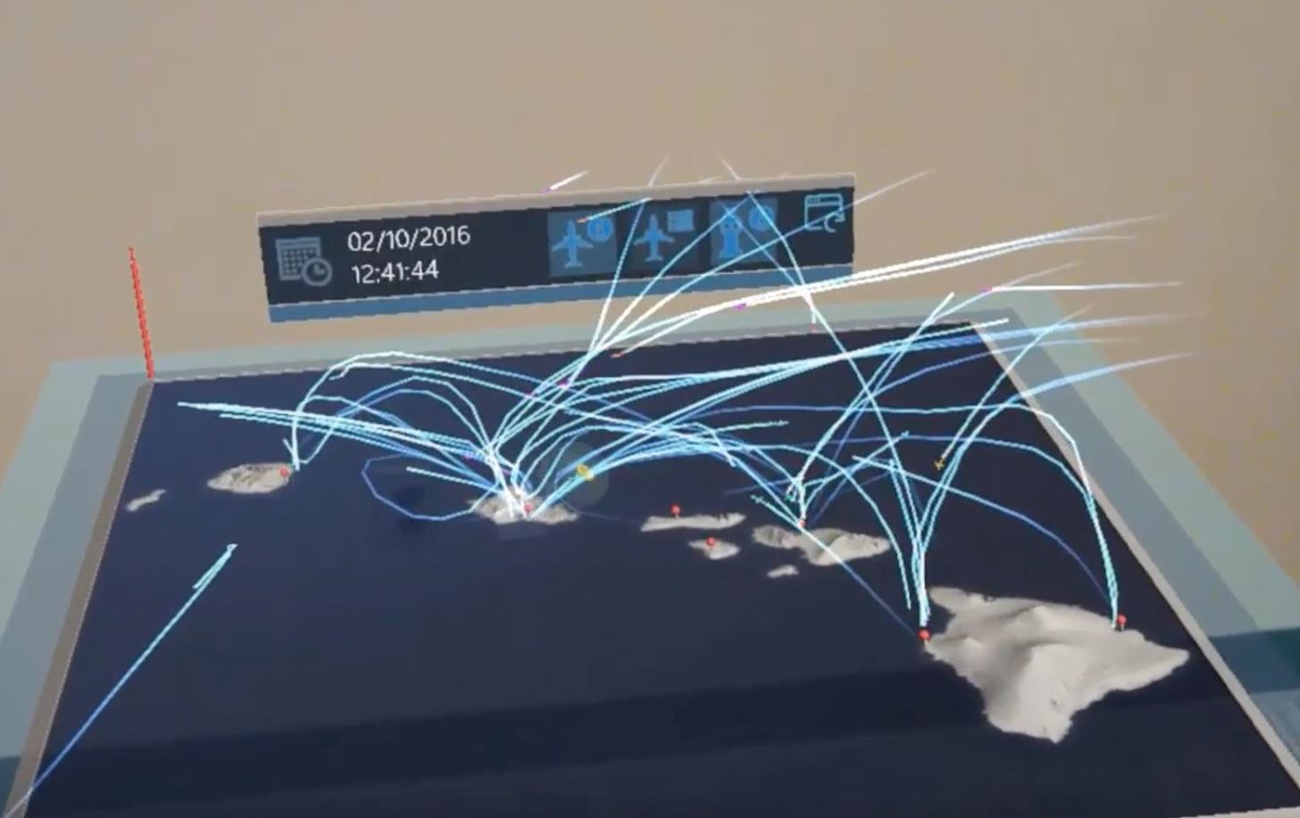
HoloFlight, from user-experience firm IdentityMine, now available in beta on the Microsoft Store, takes flight data and renders it on a holographic globe. You can zoom in and out to look at specific areas and watch planes travel from one location to another. IdentityMine explains:
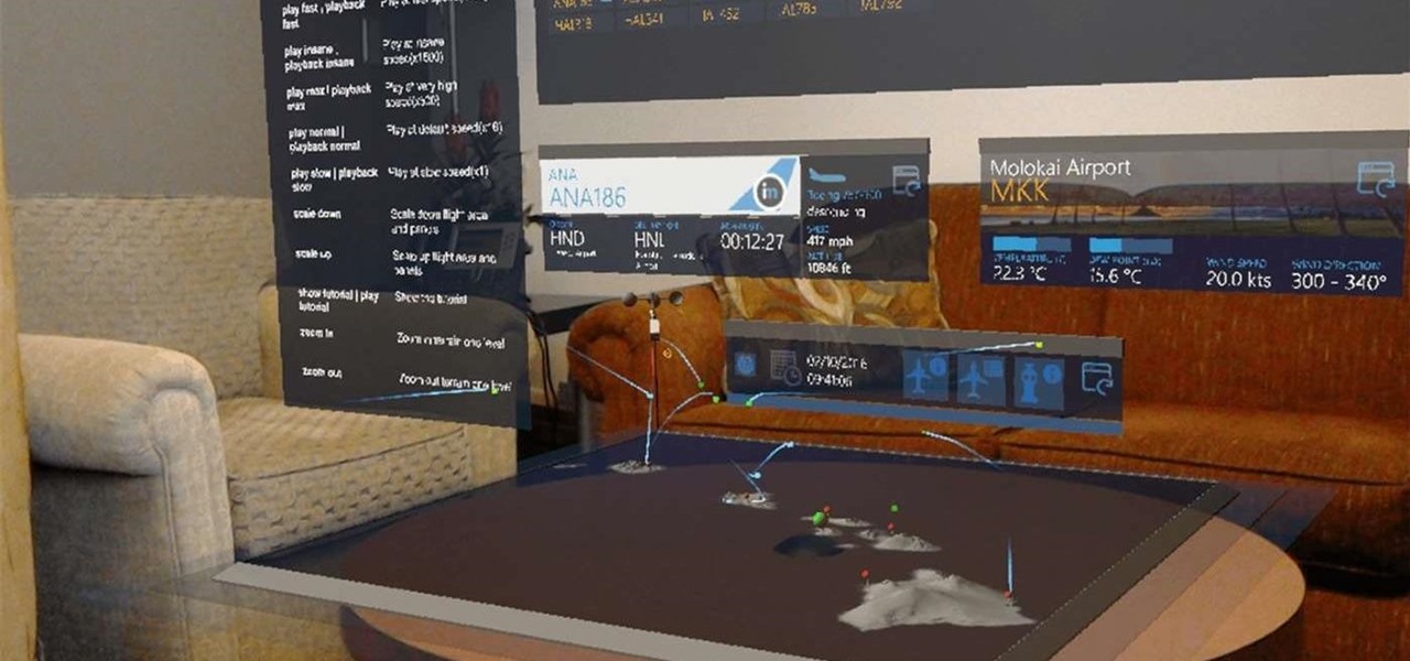
The user can walk around and explore various parts of the visualized flight space. Simply gaze at airplanes to see detailed flight information or even hear ATC conversations with spatial sound. Different zoom levels of the terrain allow the user to see a broader view but also detailed information for a specific airport, including the control tower's point of view.
Currently, HoloFlight only uses offline, pre-recorded data. That doesn't hurt how cool the app is but certainly limits its usefulness. IdentityMine intends to improve it over time, of course, and live flight data is in the pipeline.
It's hard to think of how much more they could do, anyhow, as the app offers a robust set of features. Aside from just zooming around with a few air taps, you can use voice commands to navigate and perform most other actions.
You don't have to view the offline data in real time, either. You can speed everything up and even make the flight trails "sticky" so you can see every plane's path at an expedited pace.
Despite being in beta, HoloFlight feels like one of the first substantial apps to hit the store. It's free, so if you're lucky enough to have a HoloLens, you should definitely check it out.
Just updated your iPhone? You'll find new features for Podcasts, News, Books, and TV, as well as important security improvements and fresh wallpapers. Find out what's new and changed on your iPhone with the iOS 17.5 update.



















Be the First to Comment
Share Your Thoughts